

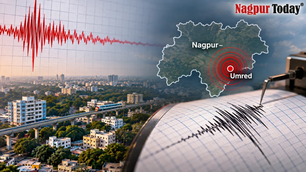
 Nagpur, November 8, 2026: Mild earthquake tremors were recorded in Nagpur district on Sunday afternoon, triggering concern among residents on Diwali. According to the National Centre for Seismology (NCS), an earthquake measuring 2.6 on the Richter scale was recorded at 2:17 pm.
The earthquake originated at a depth of approximately 5 kilometres below the Earth’s surface, with its epicentre located around 27 kilometres south-southeast of Nagpur city, in the Umred region.
The NCS officially confirmed the earthquake, classifying the event as reviewed. The recorded coordinates were 20.932° N latitude and 79.214° E longitude.
Although the earthquake was relatively mild in intensity, its occurrence has drawn attention to the recurring seismic activity being reported in and around Nagpur district.
Nagpur Region Has Witnessed Repeated Tremors
The latest earthquake comes just days after two mild tremors were recorded in Umred taluka on October 27. Those earthquakes measured 2.3 and 3.0 on the Richter scale and originated near Haldgaon and Dawha villages.

The repeated seismic events have raised questions about the region’s geological activity, particularly as Nagpur has traditionally been considered a relatively low-risk earthquake zone.
Nagpur falls under Seismic Zone II in India’s seismic zoning classification. However, experts have previously called for closer scientific monitoring and detailed geological investigations to understand the recurring tremors in the region.
No Major Damage Reported
The latest earthquake measured 2.6 in magnitude, and no major damage or casualties have been reported in connection with the event so far.
The recurring tremors nevertheless underline the importance of continuous seismic monitoring and public awareness about earthquake safety in Nagpur and neighbouring areas.